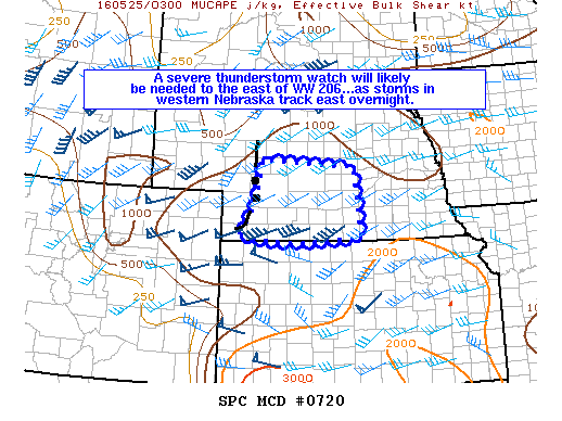
NOAA Storm Prediction Center Mesoscale Discussion 720
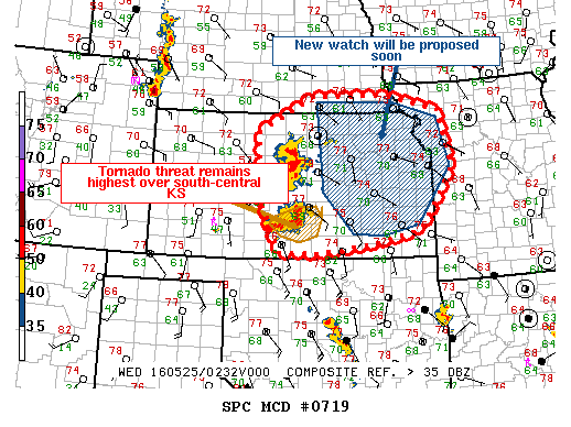
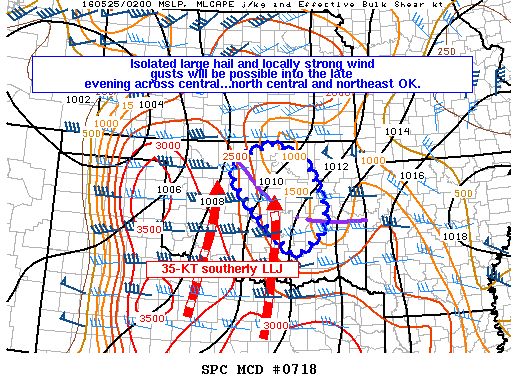
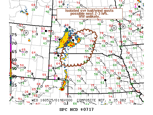
MD 0720 CONCERNING TORNADO WATCH 206… FOR SOUTHWEST TO SOUTH-CENTRAL NEBRASKA MESOSCALE DISCUSSION 0720 NWS STORM PREDICTION CENTER NORMAN OK 1043 PM CDT TUE MAY 24 2016 AREAS AFFECTED…SOUTHWEST TO SOUTH-CENTRAL NEBRASKA CONCERNING…TORNADO WATCH 206… VALID 250343Z – 250515Z THE SEVERE WEATHER THREAT FOR TORNADO WATCH 206 CONTINUES. SUMMARY…A NEW SEVERE THUNDERSTORM WATCH WILL LIKELY BE NEEDED TO THE EAST… Read more →