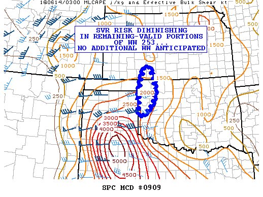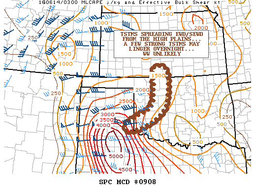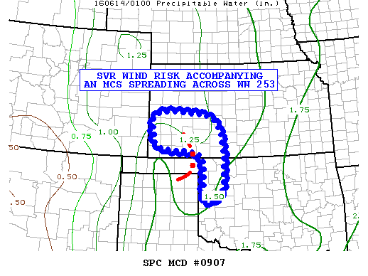
NOAA Storm Prediction Center Mesoscale Discussion 910
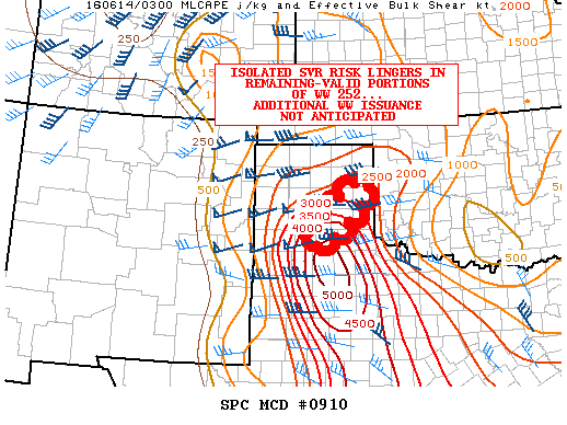
MD 0910 CONCERNING TORNADO WATCH 252… FOR PORTIONS OF THE TX PANHANDLE MESOSCALE DISCUSSION 0910 NWS STORM PREDICTION CENTER NORMAN OK 1056 PM CDT MON JUN 13 2016 AREAS AFFECTED…PORTIONS OF THE TX PANHANDLE CONCERNING…TORNADO WATCH 252… VALID 140356Z – 140530Z THE SEVERE WEATHER THREAT FOR TORNADO WATCH 252 CONTINUES. SUMMARY…THE LEADING EDGE OF AN MCS WILL CONTINUE TO ADVANCE… Read more →