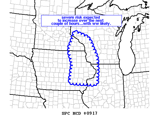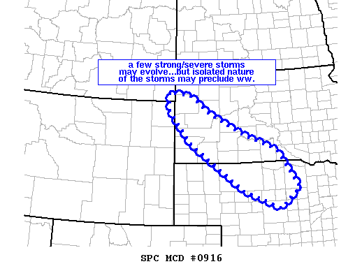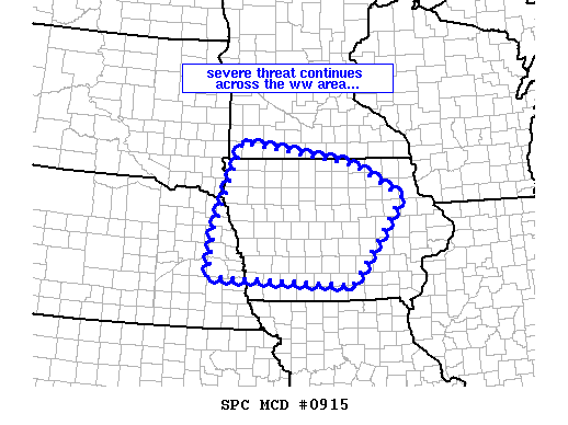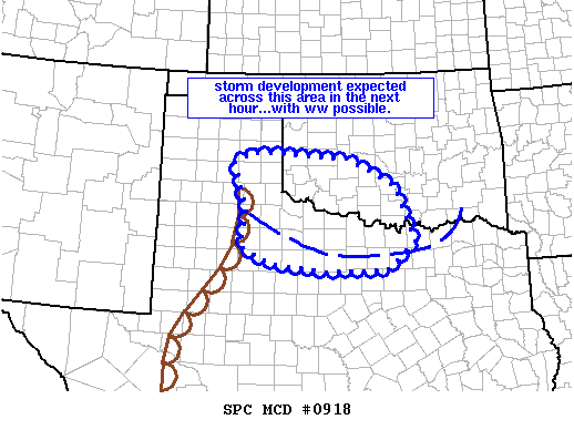
NOAA Storm Prediction Center Mesoscale Discussion 918
MD 0918 CONCERNING SEVERE POTENTIAL…WATCH POSSIBLE FOR RED RIVER VALLEY REGION OF SRN OK/WRN N TX AND VICINITY MESOSCALE DISCUSSION 0918 NWS STORM PREDICTION CENTER NORMAN OK 0402 PM CDT TUE JUN 14 2016 AREAS AFFECTED…RED RIVER VALLEY REGION OF SRN OK/WRN N TX AND VICINITY CONCERNING…SEVERE POTENTIAL…WATCH POSSIBLE VALID 142102Z – 142230Z PROBABILITY OF WATCH ISSUANCE…40 PERCENT SUMMARY…STORM DEVELOPMENT… Read more →