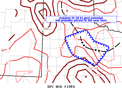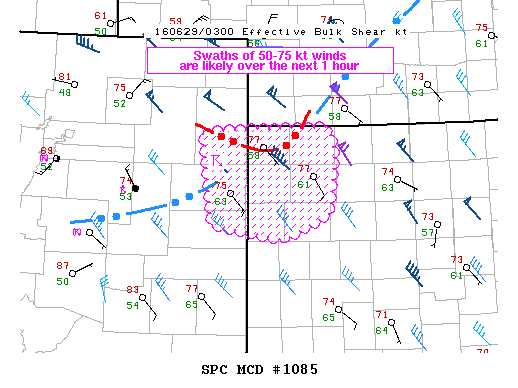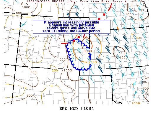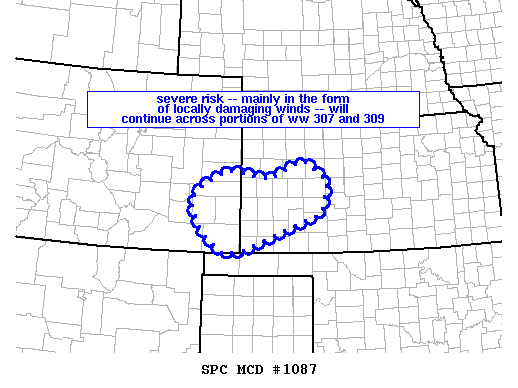
NOAA Storm Prediction Center Mesoscale Discussion 1087
MD 1087 CONCERNING SEVERE THUNDERSTORM WATCH 307…309… FOR SERN CO/SWRN KS MESOSCALE DISCUSSION 1087 NWS STORM PREDICTION CENTER NORMAN OK 0155 AM CDT WED JUN 29 2016 AREAS AFFECTED…SERN CO/SWRN KS CONCERNING…SEVERE THUNDERSTORM WATCH 307…309… VALID 290655Z – 290900Z THE SEVERE WEATHER THREAT FOR SEVERE THUNDERSTORM WATCH 307…309…CONTINUES. SUMMARY…SEVERE RISK — MAINLY IN THE FORM OF DAMAGING WIND GUSTS –… Read more →