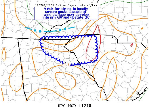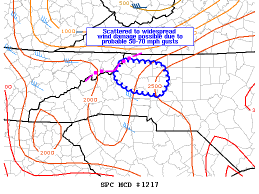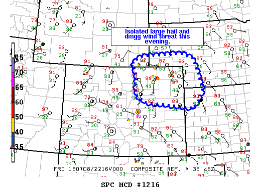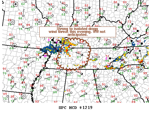
NOAA Storm Prediction Center Mesoscale Discussion 1219
MD 1219 CONCERNING SEVERE POTENTIAL…WATCH UNLIKELY FOR MIDDLE TN…SWRN AND S-CNTRL KY MESOSCALE DISCUSSION 1219 NWS STORM PREDICTION CENTER NORMAN OK 0734 PM CDT FRI JUL 08 2016 AREAS AFFECTED…MIDDLE TN…SWRN AND S-CNTRL KY CONCERNING…SEVERE POTENTIAL…WATCH UNLIKELY VALID 090034Z – 090130Z PROBABILITY OF WATCH ISSUANCE…20 PERCENT SUMMARY…A THREAT FOR STRONG TO ISOLATED DMGG WIND GUSTS WILL EXTEND INTO PARTS OF… Read more →