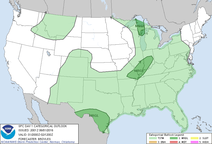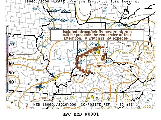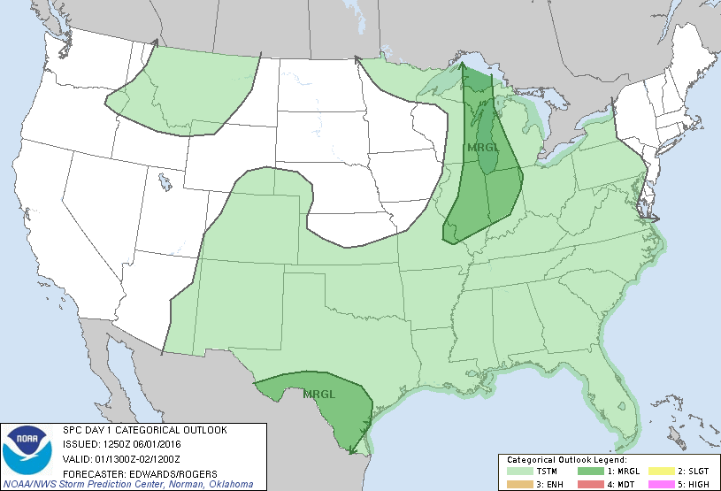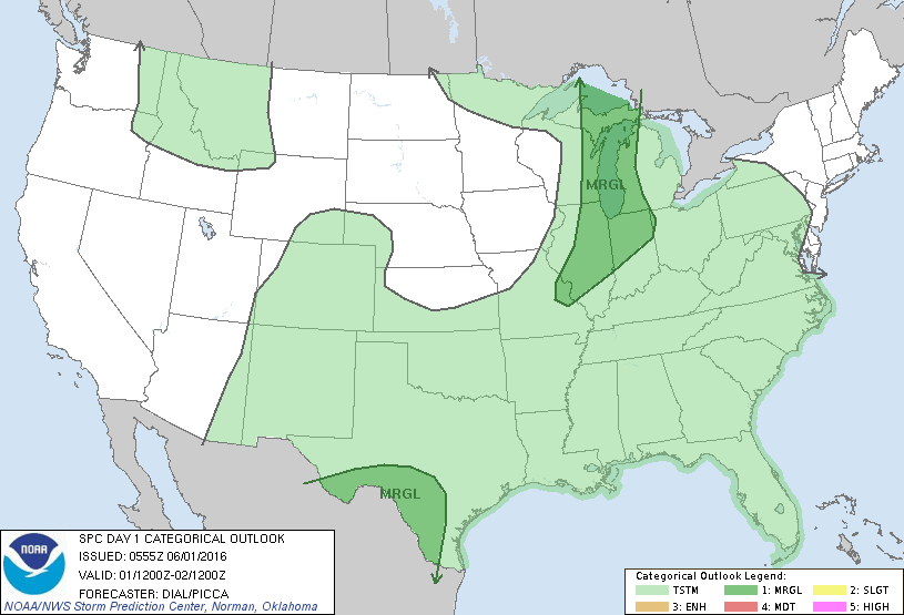
NOAA Storm Prediction Center Mesoscale Discussion 802
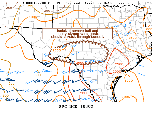
MD 0802 CONCERNING SEVERE POTENTIAL…WATCH UNLIKELY FOR TRANS-PECOS TO HILL COUNTRY OF TX MESOSCALE DISCUSSION 0802 NWS STORM PREDICTION CENTER NORMAN OK 0523 PM CDT WED JUN 01 2016 AREAS AFFECTED…TRANS-PECOS TO HILL COUNTRY OF TX CONCERNING…SEVERE POTENTIAL…WATCH UNLIKELY VALID 012223Z – 020030Z PROBABILITY OF WATCH ISSUANCE…5 PERCENT SUMMARY…ISOLATED SEVERE HAIL AND LOCALLY STRONG WIND GUSTS SHOULD PERSIST INTO MID-EVENING…. Read more →