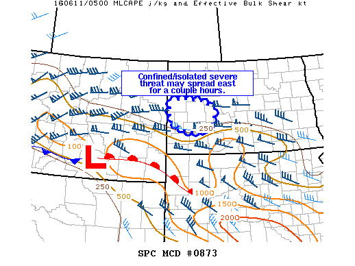
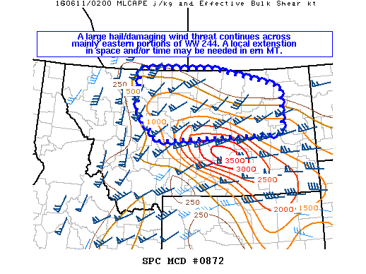
NOAA Storm Prediction Center Mesoscale Discussion 874
MD 0874 CONCERNING SEVERE POTENTIAL…WATCH UNLIKELY FOR NORTH-CENTRAL MT MESOSCALE DISCUSSION 0874 NWS STORM PREDICTION CENTER NORMAN OK 0625 AM CDT SAT JUN 11 2016 AREAS AFFECTED…NORTH-CENTRAL MT CONCERNING…SEVERE POTENTIAL…WATCH UNLIKELY VALID 111125Z – 111300Z PROBABILITY OF WATCH ISSUANCE…5 PERCENT SUMMARY…A SWATH OF SEVERE HAIL IS POSSIBLE THROUGH ABOUT 13-14Z BEFORE FAST-MOVING ELEVATED STORMS LIKELY PROGRESS INTO SASKATCHEWAN. DISCUSSION…A COUPLE… Read more →