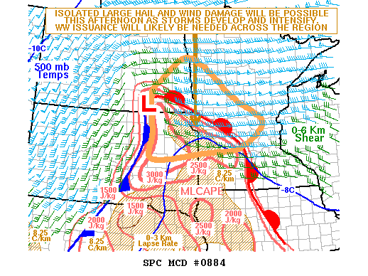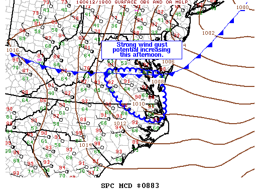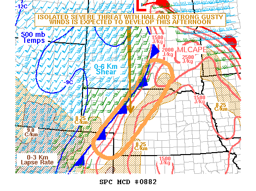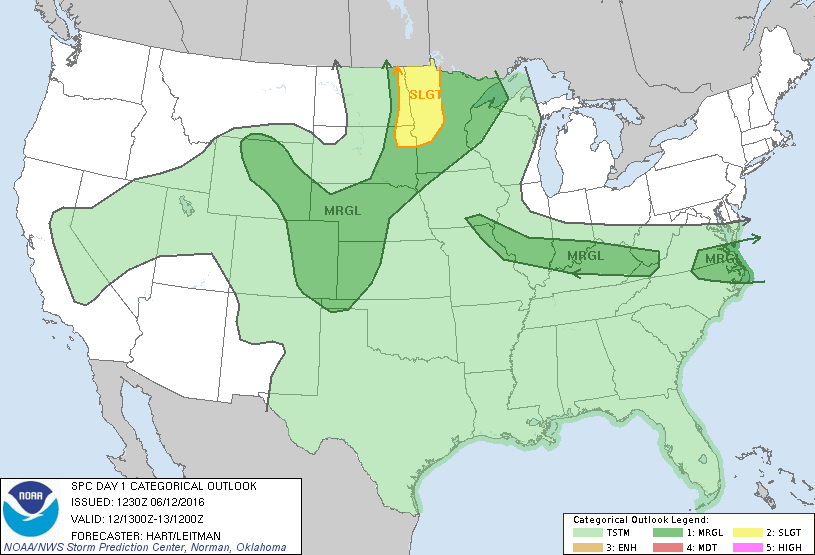
NOAA Storm Prediction Center Mesoscale Discussion 885
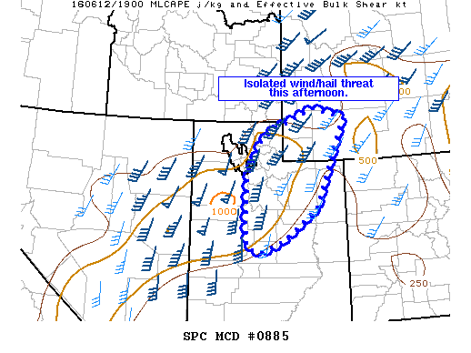
MD 0885 CONCERNING SEVERE POTENTIAL…WATCH UNLIKELY FOR PARTS OF CNTRL/NRN UT…SWRN WY MESOSCALE DISCUSSION 0885 NWS STORM PREDICTION CENTER NORMAN OK 0231 PM CDT SUN JUN 12 2016 AREAS AFFECTED…PARTS OF CNTRL/NRN UT…SWRN WY CONCERNING…SEVERE POTENTIAL…WATCH UNLIKELY VALID 121931Z – 122100Z PROBABILITY OF WATCH ISSUANCE…20 PERCENT SUMMARY…A THREAT FOR ISOLATED STRONG TO LOCALLY DMGG WIND GUSTS AND HAIL WILL ACCOMPANY… Read more →