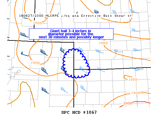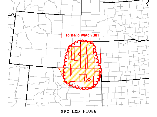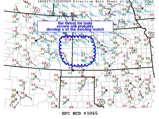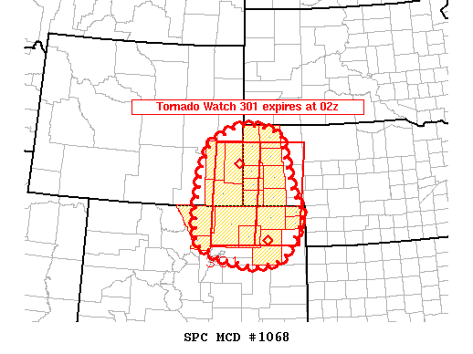
NOAA Storm Prediction Center Mesoscale Discussion 1068
MD 1068 CONCERNING TORNADO WATCH 301… FOR SOUTHEASTERN WYOMING…WESTERN NEBRASKA…AND NORTHEASTERN COLORADO MESOSCALE DISCUSSION 1068 NWS STORM PREDICTION CENTER NORMAN OK 0744 PM CDT MON JUN 27 2016 AREAS AFFECTED…SOUTHEASTERN WYOMING…WESTERN NEBRASKA…AND NORTHEASTERN COLORADO CONCERNING…TORNADO WATCH 301… VALID 280044Z – 280145Z THE SEVERE WEATHER THREAT FOR TORNADO WATCH 301 CONTINUES. SUMMARY…WITH THE EXCEPTION OF FAR NORTHWESTERN NEBRASKA…TORNADO WATCH 301 MAY… Read more →