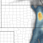
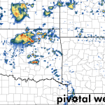
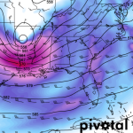
Good morning, everyone! Please take a moment to give this a read…Based on the latest guidance from the SPC's SSEO…
Posted by Nick Lilja WDAM on Thursday, March 10, 2016
The Models
SSEO:

HRRR:


As an area of low pressure strengthens coming out of the Rockies and slides northeast from Colorado to Wisconsin, it will swing a cold front across the Southern Plains, Mid-South and Gulf Coast Wednesday and Thursday. Along the front, showers and storms may develop from as far south as Austin, Texas back north toward Omaha, Nebraska. And as far east… Read more →

3/13/16 1:20 PM UPDATE: The Storm Prediction Center and National Wether service have issues a Tornado Watch for sections of Oklahoma, and Arkansas. The NWS suggests a 50-percent chance of two or more tornadoes in this watch box and a 20-percent chance of an EF-2 or greater tornado. There is also a 60-percent chance of severe hail in the watch… Read more →

Usually, clearing one hurdle at a time is the best way to handle weather, but in this case, it is important to jump on this before the preoccupation with flooding leads to a missed opportunity to warn about the threat for more severe weather. The Setup A cut-off Low lifts out of Texas and into Mississippi and Tennessee as a… Read more →
Good morning, everyone! Please take a moment to give this a read…Based on the latest guidance from the SPC's SSEO…
Posted by Nick Lilja WDAM on Thursday, March 10, 2016
SSEO:

HRRR:


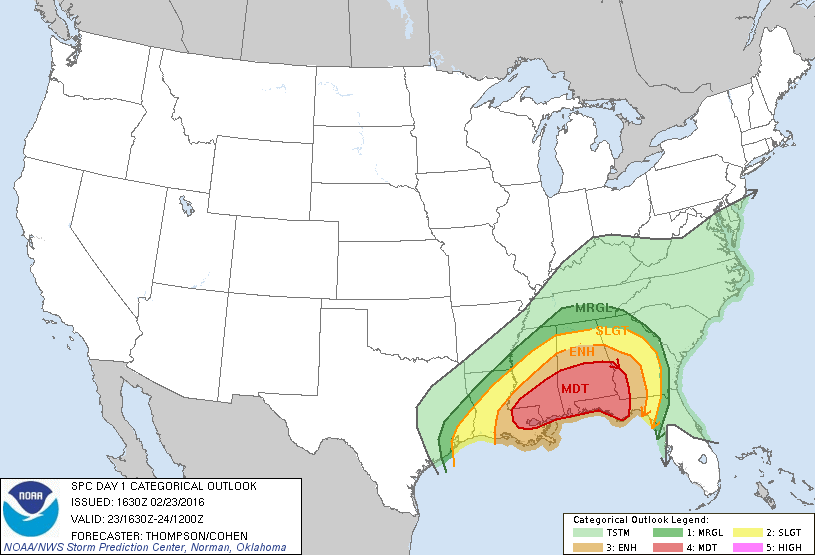
From the SPC… …SUMMARY… SEVERE THUNDERSTORMS CAPABLE OF PRODUCING TORNADOES…DAMAGING WINDS…AND ISOLATED LARGE HAIL WILL BE LIKELY OVER PORTIONS OF THE GULF COAST STATES THROUGH TONIGHT. A FEW STRONG TORNADOES WILL BE POSSIBLE. …SYNOPSIS… AN INTENSE SHORTWAVE TROUGH AND ASSOCIATED MID-UPPER JET STREAK WILL PROGRESS EWD OVER THE GULF COAST STATES THROUGH TONIGHT. STRONG ASCENT IN THE LEFT EXIT REGION… Read more →