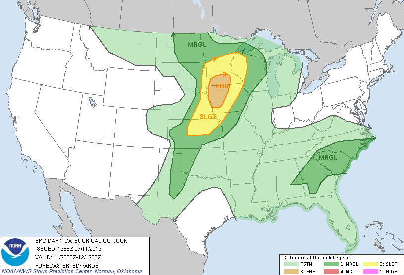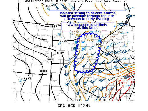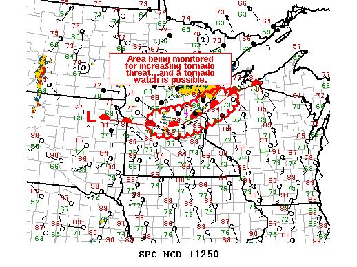
NOAA Storm Prediction Center Mesoscale Discussion 1250
MD 1250 CONCERNING SEVERE THUNDERSTORM WATCH 372… FOR CNTRL MN…NWRN WI MESOSCALE DISCUSSION 1250 NWS STORM PREDICTION CENTER NORMAN OK 0517 PM CDT MON JUL 11 2016 AREAS AFFECTED…CNTRL MN…NWRN WI CONCERNING…SEVERE THUNDERSTORM WATCH 372… VALID 112217Z – 112315Z THE SEVERE WEATHER THREAT FOR SEVERE THUNDERSTORM WATCH 372 CONTINUES. SUMMARY…TSTMS DEVELOPING NEAR A WARM FRONT ACROSS CNTRL MN INTO NWRN… Read more →