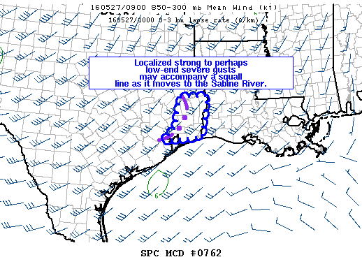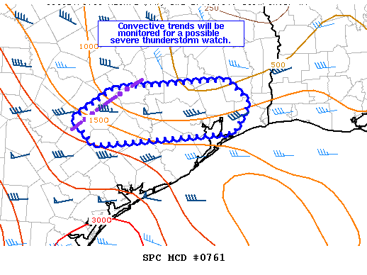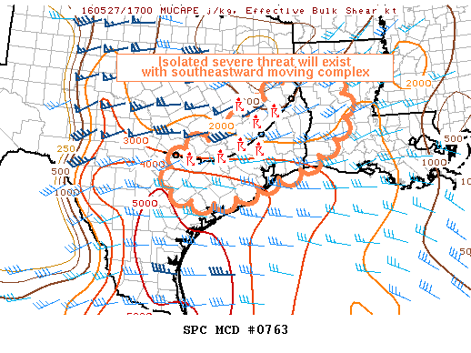
NOAA Storm Prediction Center Mesoscale Discussion 763
MD 0763 CONCERNING SEVERE POTENTIAL…WATCH POSSIBLE FOR SOUTHEASTERN TEXAS AND SOUTHWESTERN LOUISIANA MESOSCALE DISCUSSION 0763 NWS STORM PREDICTION CENTER NORMAN OK 1257 PM CDT FRI MAY 27 2016 AREAS AFFECTED…SOUTHEASTERN TEXAS AND SOUTHWESTERN LOUISIANA CONCERNING…SEVERE POTENTIAL…WATCH POSSIBLE VALID 271757Z – 271900Z PROBABILITY OF WATCH ISSUANCE…40 PERCENT SUMMARY…A VERY ISOLATED SEVERE THREAT SHOULD CONTINUE WITH A SLOWLY SOUTHEASTWARD MOVING MCS OVER… Read more →