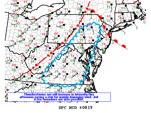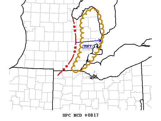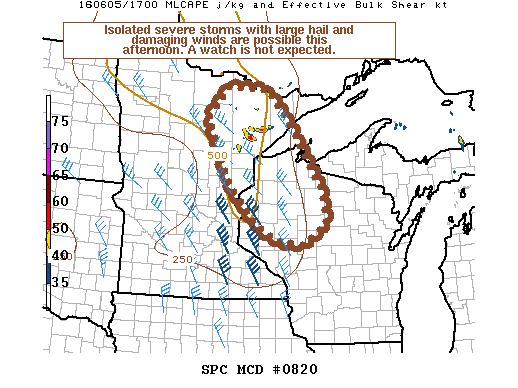
NOAA Storm Prediction Center Mesoscale Discussion 820
MD 0820 CONCERNING SEVERE POTENTIAL…WATCH UNLIKELY FOR PORTIONS OF NERN MN…NRN/CENTRAL WI MESOSCALE DISCUSSION 0820 NWS STORM PREDICTION CENTER NORMAN OK 1223 PM CDT SUN JUN 05 2016 AREAS AFFECTED…PORTIONS OF NERN MN…NRN/CENTRAL WI CONCERNING…SEVERE POTENTIAL…WATCH UNLIKELY VALID 051723Z – 052000Z PROBABILITY OF WATCH ISSUANCE…20 PERCENT SUMMARY…THUNDERSTORMS ARE EXPECTED TO INCREASE IN COVERAGE THIS AFTERNOON WITH ISOLATED INSTANCES OF LARGE… Read more →