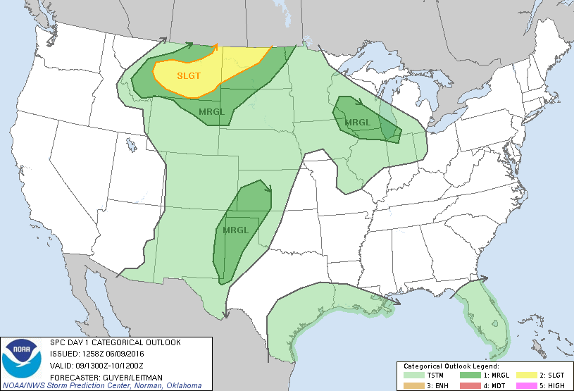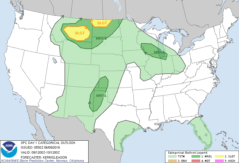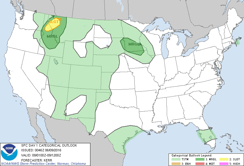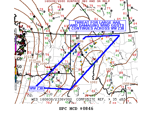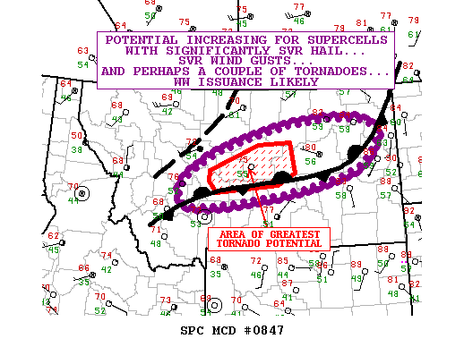
NOAA Storm Prediction Center Mesoscale Discussion 847
MD 0847 CONCERNING SEVERE POTENTIAL…WATCH LIKELY FOR PORTIONS OF MONTANA MESOSCALE DISCUSSION 0847 NWS STORM PREDICTION CENTER NORMAN OK 1244 PM CDT THU JUN 09 2016 AREAS AFFECTED…PORTIONS OF MONTANA CONCERNING…SEVERE POTENTIAL…WATCH LIKELY VALID 091744Z – 092015Z PROBABILITY OF WATCH ISSUANCE…95 PERCENT SUMMARY…THE POTENTIAL FOR SUPERCELL TSTMS WITH SIGNIFICANTLY SEVERE HAIL…SVR WIND GUSTS…AND PERHAPS A COUPLE OF TORNADOES IS INCREASING…. Read more →