Overnight update on snow forecast for south Mississippi
As of this writing (11:50pm, Monday night) things are starting to pick-up a bit in the weather department as rain changes over to snow in some places across parts of central and northern Mississippi. To catch up on the details about the forecast, here is my facebook video from earlier: The New Stuff As of midnight, rain has changed to… Read more →

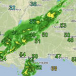
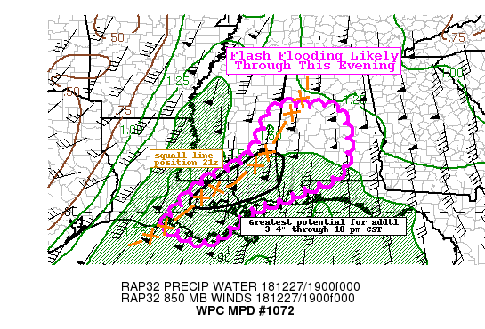
WPC warns additional 3″ to 4″ of rain possible for South Mississippi
Here is an update form the Weather Prediction Center regarding the heavy rain falling across the Pine Belt. Mesoscale Precipitation Discussion 1072 NWS Weather Prediction Center College Park MD 454 PM EST Thu Dec 27 2018 Areas affected…Central Louisiana into Central Mississippi Concerning…Heavy rainfall…Flash flooding likely Valid 272153Z – 280353Z Summary…Increasing risk for significant flash flooding as a line of… Read more →
12/11/18 Detailed forecast for South Mississippi
Thursday, as clouds continue to increase, rain chances will increase, too. Highs will be around 65 with a 70 percent chance for rain. We may see a few storms here and there, but the threat for severe weahter is looking pretty limited at this time. Current model trends keep the warm front too far to the south for severe weahter… Read more →

Gulf Coast wintry weather breakdown
The overnight computer weather model data just came down and things are starting to come into better focus, and while things are looking a little more *wintry* the majority of the information isn’t pointing to snow for southern Mississippi, Louisiana and Alabama. Historically speaking There isn’t much here. Pulling data from the Baton Rouge site, the Hattiesburg site, and Mobile… Read more →

