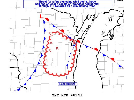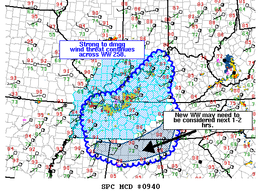
NOAA Storm Prediction Center Mesoscale Discussion 943
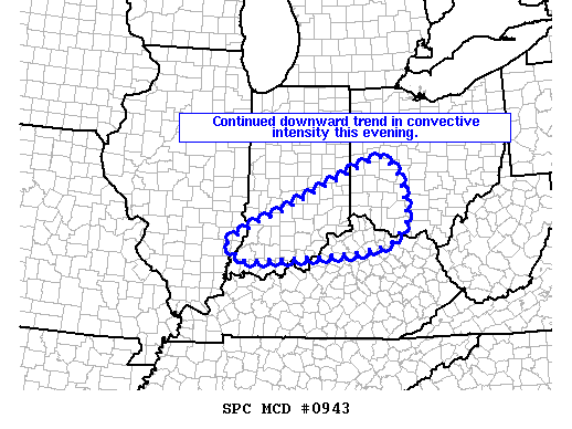
MD 0943 CONCERNING SEVERE THUNDERSTORM WATCH 258…260… FOR PORTIONS OF SOUTHERN IND…SOUTHWESTERN OH…AND NORTHERN KY MESOSCALE DISCUSSION 0943 NWS STORM PREDICTION CENTER NORMAN OK 0601 PM CDT WED JUN 15 2016 AREAS AFFECTED…PORTIONS OF SOUTHERN IND…SOUTHWESTERN OH…AND NORTHERN KY CONCERNING…SEVERE THUNDERSTORM WATCH 258…260… VALID 152301Z – 160000Z THE SEVERE WEATHER THREAT FOR SEVERE THUNDERSTORM WATCH 258…260…CONTINUES. SUMMARY…DECREASING THREAT FOR SEVERE… Read more →