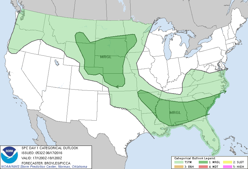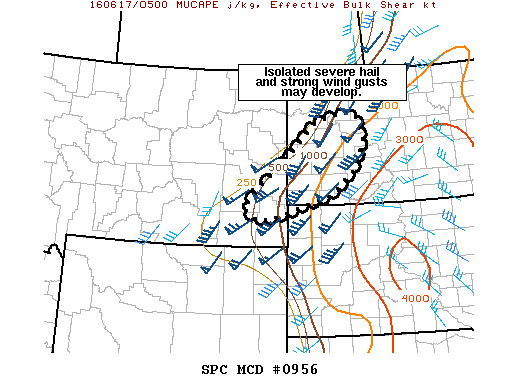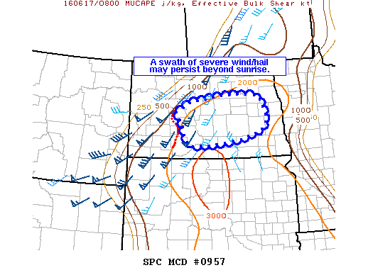
NOAA Storm Prediction Center Mesoscale Discussion 957
MD 0957 CONCERNING SEVERE THUNDERSTORM WATCH 263… FOR CENTRAL/SOUTHERN ND MESOSCALE DISCUSSION 0957 NWS STORM PREDICTION CENTER NORMAN OK 0323 AM CDT FRI JUN 17 2016 AREAS AFFECTED…CENTRAL/SOUTHERN ND CONCERNING…SEVERE THUNDERSTORM WATCH 263… VALID 170823Z – 171000Z THE SEVERE WEATHER THREAT FOR SEVERE THUNDERSTORM WATCH 263 CONTINUES. SUMMARY…SHORT QLCS ACROSS SOUTHWEST ND SHOULD CONTINUE TO POSE A RISK FOR SEVERE… Read more →