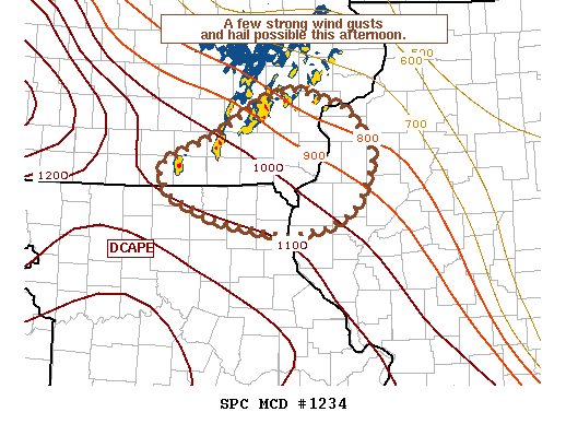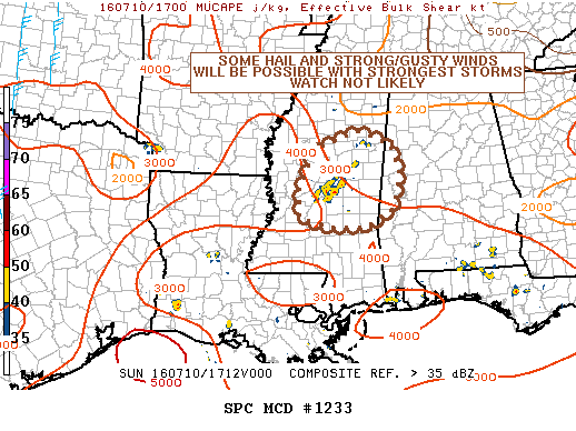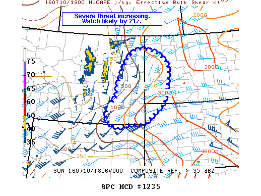
NOAA Storm Prediction Center Mesoscale Discussion 1235
MD 1235 CONCERNING SEVERE POTENTIAL…WATCH LIKELY FOR ERN MT…WRN ND…FAR NW SD MESOSCALE DISCUSSION 1235 NWS STORM PREDICTION CENTER NORMAN OK 0219 PM CDT SUN JUL 10 2016 AREAS AFFECTED…ERN MT…WRN ND…FAR NW SD CONCERNING…SEVERE POTENTIAL…WATCH LIKELY VALID 101919Z – 102045Z PROBABILITY OF WATCH ISSUANCE…80 PERCENT SUMMARY…THE THREAT FOR LARGE HAIL AND DAMAGING WIND GUSTS IS INCREASING ACROSS PARTS OF… Read more →