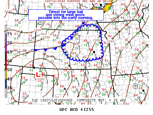
NOAA Storm Prediction Center Mesoscale Discussion 1255
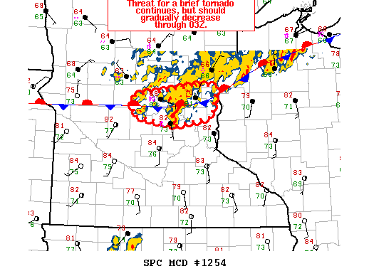
MD 1255 CONCERNING SEVERE POTENTIAL…WATCH POSSIBLE FOR MUCH OF CNTRL/ERN KS…FAR SERN NEB MESOSCALE DISCUSSION 1255 NWS STORM PREDICTION CENTER NORMAN OK 1056 PM CDT MON JUL 11 2016 AREAS AFFECTED…MUCH OF CNTRL/ERN KS…FAR SERN NEB CONCERNING…SEVERE POTENTIAL…WATCH POSSIBLE VALID 120356Z – 120600Z PROBABILITY OF WATCH ISSUANCE…40 PERCENT SUMMARY…AN ISOLATED THREAT FOR LARGE HAIL AND STRONG WIND GUSTS WILL DEVELOP… Read more →