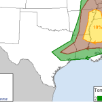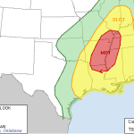
December 22-23 Gulf Coast severe weather threat
UPDATE 9:00 AM: The NWS SPC has updated the forecast graphics for today. They have removed the mention for severe hail and moved the “Marginal” risk farther south. The surface observations show most of the region with winds from the east or northeast. In other words, the warm front that will push north across Louisiana, Mississippi and Alabama is still off… Read more →
December 22-23 Severe Weather Threat for Southern Mississippi
It looks like Monday December 22nd and Tuesday December 23rd will be relatively active across the southeast. Scenario A large area of low pressure across the upper-Midwest will push a cold front through the the southeast. The change in airmass will promote the development of showers and thunderstorms for parts of Louisiana, Arkansas, Tennessee, Mississippi, Alabama and Georgia. The latest… Read more →

October 13 southern Mississippi severe weather event: 11am Update
UPDATE 11:55am: The SPC is now considering a tornado WATCH for sections of the area. Details here The SPC is recognizing the evolving nature of this severe weather event and moved the areas of concern for this afternoon farther south. The 10 percent tornado threat now looks like it noses into northwest sections of the Pine Belt. And while you… Read more →

October 13 southern Mississippi severe weather event: 1am Update
UPDATE: The 11am update for this event is located here Before I hit the sack… The SPC just released the 6z forecast for Monday and it looks like this: The first thing you may notice is that for the Pine Belt and most sections of southern Mississippi the roughest weather is to the north. But don’t let your guard down. The… Read more →

