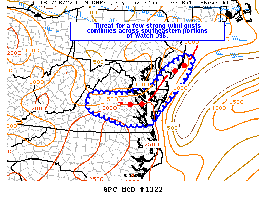
NOAA Storm Prediction Center Mesoscale Discussion 1323
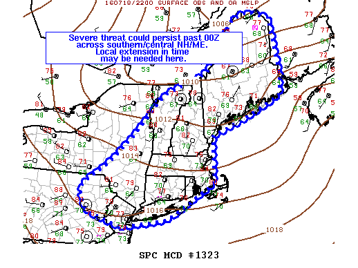
MD 1323 CONCERNING SEVERE THUNDERSTORM WATCH 394…395… FOR PORTIONS OF THE NORTHERN MID-ATLANTIC AND NEW ENGLAND MESOSCALE DISCUSSION 1323 NWS STORM PREDICTION CENTER NORMAN OK 0549 PM CDT MON JUL 18 2016 AREAS AFFECTED…PORTIONS OF THE NORTHERN MID-ATLANTIC AND NEW ENGLAND CONCERNING…SEVERE THUNDERSTORM WATCH 394…395… VALID 182249Z – 190015Z THE SEVERE WEATHER THREAT FOR SEVERE THUNDERSTORM WATCH 394…395…CONTINUES. SUMMARY…OVERALL SEVERE… Read more →