I don’t think I made is clear enough in the video: This forecast is for tomorrow and not today.
Severe Weather Breakdown – 4/12/14
Update (4/12/14 2:20): It looks like the threat for severe weather is shifting north as we move through the day.
Here is the latest look at the RAP for the composite reflectivity at 8pm.
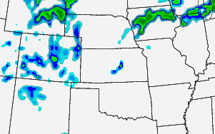
Notice most of the convection is north across parts of Iowa.
There is still the threat for severe weather despite the smaller coverage area. Also, there is still the threat for a renegade storm across parts of Kansas.
SPC MD 323
MD 0323 CONCERNING SEVERE POTENTIAL…WATCH UNLIKELY FOR PARTS OF SWRN MN…NE IA…SRN WI…NRN IL…SRN LAKE MI AND ADJACENT NW IND/SWRN MI MESOSCALE DISCUSSION 0323 NWS STORM PREDICTION CENTER NORMAN OK 1024 AM CDT SAT APR 12 2014 AREAS AFFECTED…PARTS OF SWRN MN…NE IA…SRN WI…NRN IL…SRN LAKE MI AND ADJACENT NW IND/SWRN MI CONCERNING…SEVERE POTENTIAL…WATCH UNLIKELY VALID 121524Z – 121730Z PROBABILITY… Read more →
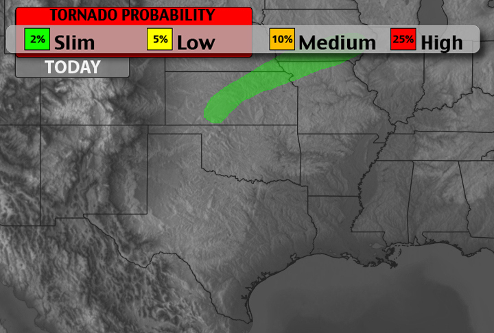
Today’s Severe Weather Potential – 4/12/14

SPC MD 322
MD 0322 CONCERNING SEVERE POTENTIAL…WATCH UNLIKELY FOR PORTIONS OF WRN/MIDDLE TN…MO BOOTHEEL…FAR NWRN AR MESOSCALE DISCUSSION 0322 NWS STORM PREDICTION CENTER NORMAN OK 0444 PM CDT FRI APR 11 2014 AREAS AFFECTED…PORTIONS OF WRN/MIDDLE TN…MO BOOTHEEL…FAR NWRN AR CONCERNING…SEVERE POTENTIAL…WATCH UNLIKELY VALID 112144Z – 112245Z PROBABILITY OF WATCH ISSUANCE…20 PERCENT SUMMARY…ISOLATED DMGG WIND THREAT SHOULD EXTEND INTO PORTIONS OF WRN/MIDDLE… Read more →

