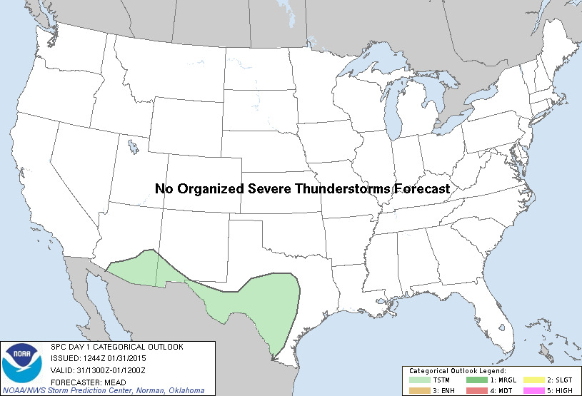
SPC Jan 31, 2015 1630 UTC Day 1 Convective Outlook
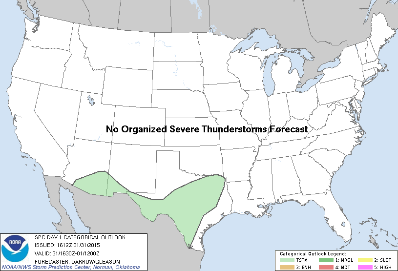
SPC 1630Z Day 1 Outlook DAY 1 CONVECTIVE OUTLOOK NWS STORM PREDICTION CENTER NORMAN OK 1012 AM CST SAT JAN 31 2015 VALID 311630Z – 011200Z …NO SVR TSTM AREAS FORECAST… …SUMMARY… ISOLATED THUNDERSTORMS MAY OCCUR TODAY INTO THIS EVENING ACROSS SOUTHERN PORTIONS OF ARIZONA AND NEW MEXICO INTO FAR WEST TEXAS. ISOLATED THUNDERSTORMS ARE ALSO POSSIBLE THIS AFTERNOON THROUGH… Read more →