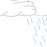
WX Info: What is a shelf cloud?
A shelf cloud is the leading edge of a gust front on a line of storms or the leading edge of an outflow boundary on a supercell thunderstorm. This is what we weather nerds call “the mothership” but it is a supercell thunderstorm with a pronounced shelf-cloud. A supercell thunderstorm rotates counter-clockwise. The pancake-looking clouds you see are made by… Read more →

