You can get the latest details from all of the great meteorologists in the Northeast via Twitter – right here:
Tweets from https://twitter.com/nqlblq/lists/northeast-meteorologists

Meteorologist are combing through the newest forecast data every six hours, while the latest cluster of storms plowing across the Atlantic Ocean continues to try to organize. Right now, the National Hurricane Center gives Invest 99-L a 10-percent chance of development during the next 48 hours and a 40-percent chance of development during the next five days. This may seem… Read more →

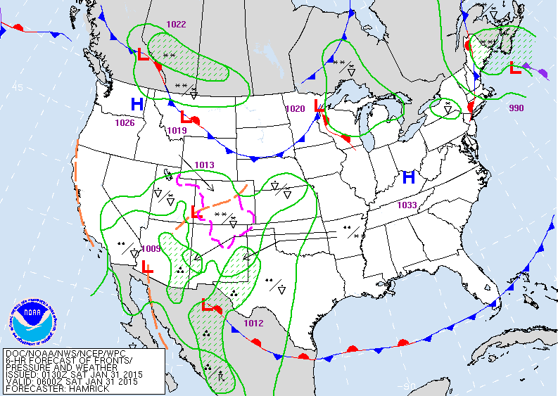
From the WPC: Widespread precipitation will continue across the southwestern corner of the Nation late this week as a deep upper trough edges southeastward towards northern Mexico and low-level winds ahead of the trough pump anomalous Pacific moisture inland. Orographic effects will help produce hefty totals along the upslope side of the terrain…and temperatures should be low enough to support… Read more →
You can get the latest details from all of the great meteorologists in the Northeast via Twitter – right here:
Tweets from https://twitter.com/nqlblq/lists/northeast-meteorologists

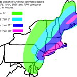
To steal a phrase from WTNH’s Chris Velardi – good morning early risers and up-all-nighters! Here are my latest thoughts on the blizzard. Monday 12pm: Light snow begins falling in New York City and points south and west. Winds will be gusty, but not bad, sustained around 15mph. Still dry to the northeast. Monday 6pm: Heavier snow falling in New… Read more →

UPDATE (1/25/15 11:00pm): Here is the latest graphics from the 21z SREF (for Boston and NYC), 0z GFS and 0z NAM: It will be interesting to see where the most intense snow bands occur. Depending on which model you look at, you get a little bit of a different answer. The 0z NAM seems to have a decent handle on… Read more →